 GDU
GDU
 UUUFLY
 DJI
DJI MMC
MMC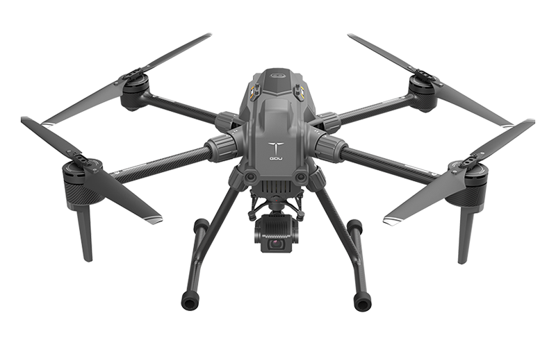 GDU
GDU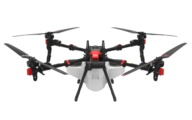 XAG
XAG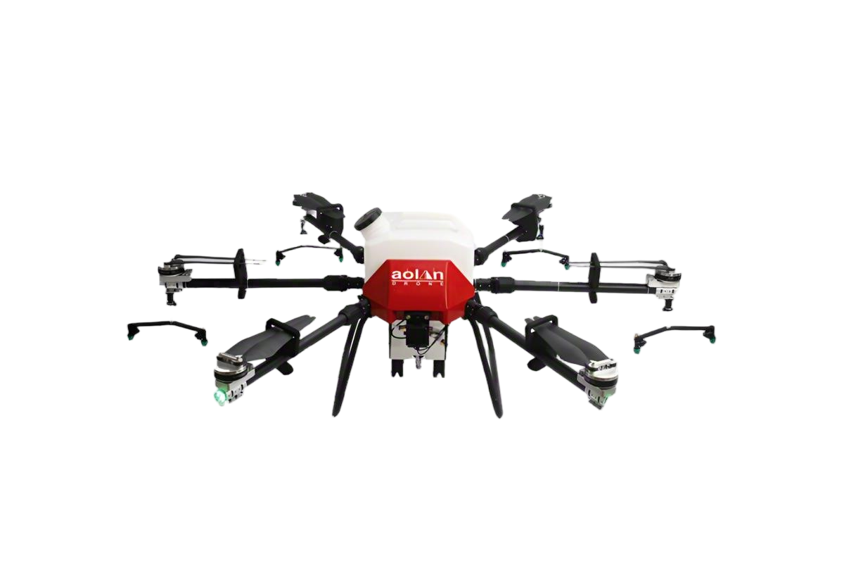 AOLAN
AOLAN KEEL
KEEL SKY NEXT
- DJI Matrice-4T
- DJI Matrice 4E Drone
- DJI Matrice 4TD
- DJI Matrice 30T
- DJI Mavic 3 Emterprise
- DJI Mavic 3M Multispectral Drone
- DJI RC 2 Plus Industry Plus
- DJI Matrice 4 Series Battery
- DJI Matrice 4D Series Batteries
- TB65 Intelligent Flight Battery
- TB100 Smart Flight Battery
- WB37 Battery
- DJI Accessories

The construction world is going through a pretty big shift, mainly thanks to all these new tech innovations. One of the most exciting developments? Construction drones. They've really shaken things up. I recently read that the global market for construction drones is expected to hit around $11.2 billion by 2025, and it's growing at a crazy 32.7% annually! That shows just how much folks are leaning on aerial tech to get things done faster and manage projects more smoothly.
Drones are fantastic for collecting data, surveying sites, and keeping an eye on progress. They can cut down survey times by up to 75%, all while providing real-time, spot-on data—which is a total game-changer. Companies like Skycatch and DroneDeploy are leading the charge here, offering tools that are pretty much built just for construction needs. But, honestly, not every company is jumping in headfirst. Some struggle to train their staff properly or to adapt their existing workflows, which can lead to not seeing the full benefits—or worse, a disappointing return on investment.
And then there’s the tricky part—regulations. Using drones isn’t just plug and play; you have to stay on top of FAA rules and keep training your team to stay compliant. So, while these drones can bring huge advantages, businesses really need to think carefully about how they’re going to implement them and invest in employee training. As the industry continues to evolve, paying attention to these details will probably be the key to truly harnessing the potential of aerial tech and making the most out of what drones can do for construction projects.

Understanding Construction Drones and Their Capabilities

Construction drones have emerged as transformative tools in project management. Their capabilities extend beyond traditional surveying and mapping tasks. According to the 2022 McKinsey report, the construction industry can save up to $1.6 trillion annually by adopting innovative technologies, including drones. These devices provide real-time imaging, ensuring better visibility of ongoing projects. They can facilitate inspections, monitor progress, and help in resource allocation effectively.
Leveraging drone technology can significantly enhance project efficiency. For instance, drones can capture high-resolution images from various angles, which can be analyzed for quality assurance. A study from the National Institute of Standards and Technology indicates that using drones improves project scheduling accuracy by over 30%. This reduced time can lead to cost savings, but proper training is crucial. Ensure your team is equipped to operate these drones safely and effectively.
Tip: Start with small projects to build expertise. Familiarize your team with drone functionalities to maximize their benefits. Regular data reviews can identify issues early, leading to timely solutions. Regularly evaluate your drone technology’s performance and be open to adjustments, as this will enhance project outcomes and learning.

FAQS
: Inspect the drone's battery life, propellers, and other components for maintenance.
High-resolution cameras and LiDAR enhance data collection, improving project assessments significantly.
Define the survey area and ensure compliance with regulations before beginning the flight.
High winds and poor visibility can affect flight stability and data quality during assessments.
Yes, drones provide real-time data that helps in decision-making and identifying potential project issues.
Skilled operators and regular training are crucial for optimizing performance and reliability.
Drone surveys are typically faster, though they require careful planning and execution to ensure accuracy.
Misalignment can cause discrepancies, potentially disrupting project execution and outcomes.
Conducting a test flight helps identify potential issues before the actual assessment begins.
A malfunction can lead to inaccurate data, affecting project decisions significantly.
Conclusion
Construction drones have emerged as a transformative tool in modern project management, offering unique capabilities such as aerial imaging and surveying techniques that enhance site assessments. By integrating drone-acquired data into project management software, construction teams can streamline operations and improve decision-making processes.
The benefits of using construction drones include increased efficiency, cost savings, and improved safety standards. As project managers prepare drones for site assessments, it is vital to ensure compliance with regulations and safety measures to maximize their potential. The article highlights successful case studies that demonstrate the effective implementation of construction drones, underscoring their role in optimizing construction project management and achieving timely project delivery.
Related Posts
-

Best Thermal Drones for Aerial Inspections and Monitoring?
-

Top Commercial Drones to Watch in 2026 for Businesses?
-

Top 10 Benefits of Using Fertilizer Drones in Agriculture?
-

Top 10 Benefits of Using Agrispray Drones in Agriculture?
-

2026 Top Thermal Drone Innovations for Global Buyers?
-

Top Agriculture UAV Trends for 2026 What You Need to Know?
