 GDU
GDU
 UUUFLY
 DJI
DJI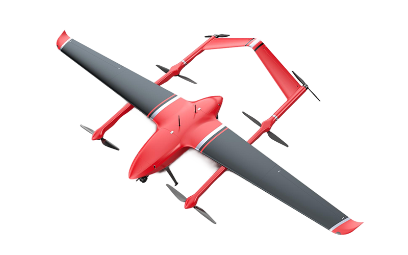 MMC
MMC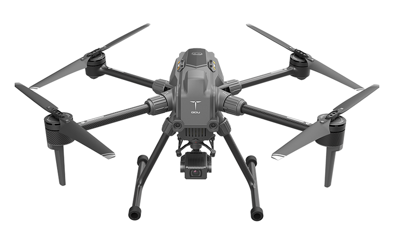 GDU
GDU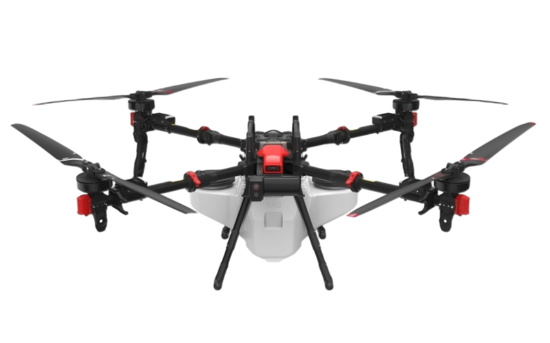 XAG
XAG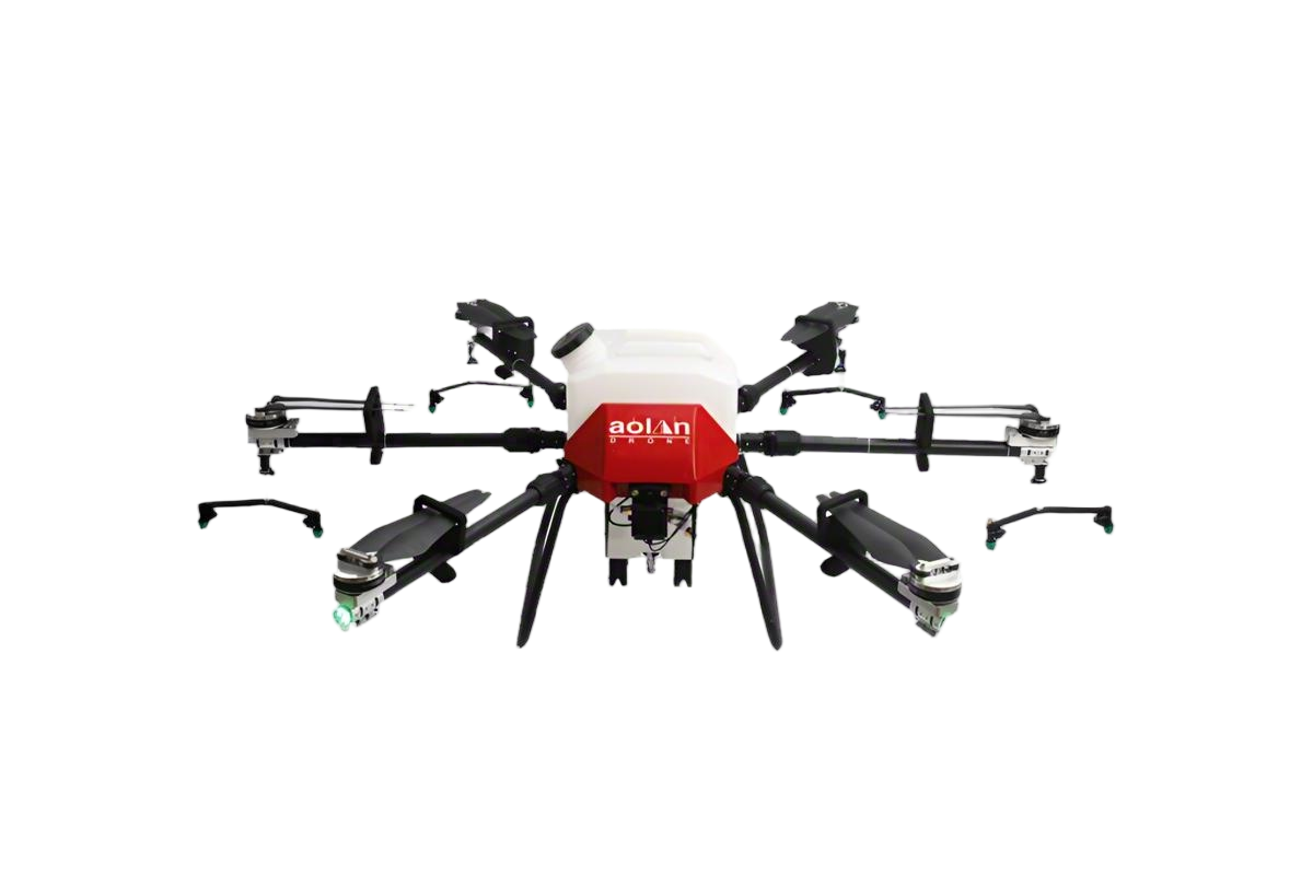 AOLAN
AOLAN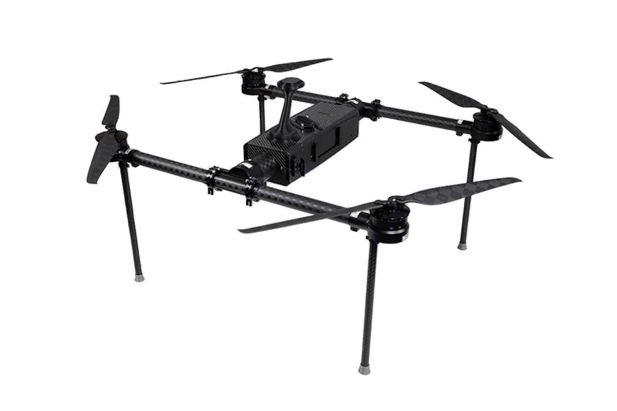 KEEL
KEEL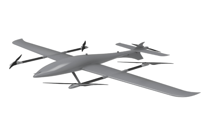 SKY NEXT
- DJI Matrice-4T
- DJI Matrice 4E Drone
- DJI Matrice 4TD
- DJI Matrice 30T
- DJI Mavic 3 Emterprise
- DJI Mavic 3M Multispectral Drone
- DJI RC 2 Plus Industry Plus
- DJI Matrice 4 Series Battery
- DJI Matrice 4D Series Batteries
- TB65 Intelligent Flight Battery
- TB100 Smart Flight Battery
- WB37 Battery
- DJI Accessories

Dragonfish-25:Next-Generation Multi-Mission eVTOL Platform
Dragonfish-25
Next-Generation Multi-Mission eVTOL: Dragonfish-25, Built for Complex Industrial & Public Safety Tasks

Dragonfish-25
Next-Generation Multi-Mission eVTOL: Dragonfish-25, Built for Complex Industrial & Public Safety Tasks
Next-Gen Multi-Mission eVTOL UAV
210-Minute Endurance, 10kg Payload, All-Weather Reliability for Industrial & Public Safety Operations
Learn More >>

Next-Gen Multi-Mission eVTOL UAV
210-Minute Endurance, 10kg Payload, All-Weather Reliability for Industrial & Public Safety Operations
Learn More >>
Advanced All-Weather eVTOL System
Superior Anti-Interference, 10-Minute Rapid Deployment & Full Automation for Complex Mission Environments

Advanced All-Weather eVTOL System
Superior Anti-Interference, 10-Minute Rapid Deployment & Full Automation for Complex Mission Environments
Why Professionals Choose Dragonfish-25 ?

Superior Anti-Interference Fearless of Challenges
Utilizing adaptive frequency hoppingtechnology across multiple bands toachieve resistance to radio frequencyinterference, it possesses high-precisionvisual navigation capabilities, ensuringstable flight in complex environments withstrong signal interference. In urban,suburban, and building scenarios wheresatellite signals are blocked or weak, stableflight is maintained through SLAM visualnavigation technology.
Easy to Use and Dismantle Saves Time and Effort
The entire drone adopts a quick-releasedesign, offering flexible and efficientoperation, and addressing the issue oftraditional vertical takeoff and landingfixed-wing drones being large andinconvenient to transport. The systemperforms rapid self-checks to respond toemergencies, achieving rapid takeoff within10 minutes.
Intelligent OperationEfficient and Reliable
Integrating Autel Robotics advanced flightcontrol and Al technologies, the powerfulcombination of software and hardwareincludes features such as one-key takeoffand landing, intelligent tracking, point-to-fly,terrain following, waypoint missions, andrapid tasking. These intelligent functionseasily meet complex operational demands,offering convenience and control.
Extended EnduranceGreat Potential

One-Button RTH and Easy Storage
Efficient Execution and Control
Fully Automated Flight: From takeoff to mission execution, the system operates fully autonomously without manual intervention. Single Operator: An optimized workflow enables a single operator to complete complex missions.
10 Min Tool-Free Assembly
A single operator can complete full assembly within 10 minutes, with system self-check completed in 10 seconds for rapid mission readiness.

Easy and Secure Transportation

Simple Target Tracking
Specs of Dragonfish-25
| Specification | Details |
| Dimensions | 3025.7x4566x823.6 mm (incl. propellers)
2735x4566x823.6 mm (excl. propellers) |
| Weight | 29 kg (incl. batteries, propellers, excl. gimbal) |
| Max. Extra Payload Weight | 10kg |
| Max. Flight Time |
270 min (empty payload). 210 min (@DG-T5) |
| Max. Flight Mileage | 220 km (@DG-T5) |
| Protection Rate | IP45 |
| Service Ceiling Above Sea Level | 5000 m |
| Max. Horizontal Flight Speed | 35 m/s |
| Max. Wind resistance | 12 m/s |
| Operating Temperature | -20°C to 50°C |
| Max. Signal Distance | 60km |
| GNSS | GPS + Galileo +BDS + GLONASS |
| Non-GNSS Flight | Supported, Installation of a bottom-viewnavigation gimbal (optional) required |
Payload System Technical specifications

DG-T5
- Zoom Camera: 35x optical zoom, 560x hybrid z0om
- Wide-Angel Camera: 4000x3000@25fps resolution
- Wide-Angle Thermal Camera: 640x512@25fps
- Tele Infrared Thermal Camera: 3.5x-56x digital zoom
- Laser Rangefinder: 10-2000 m measuring range

DG-T5L
- Zoom Camera: 35x optical zoom, 560x hybrid z0om
- Wide-Angel Camera: 4000x3000@25fps resolution
- Thermal Camera: 640x512@25fps, 1x-16x digital zoom
- Laser Rangefinder: 10-2000 m measuring range
- Laser Fill Light lens: 800 m lighting distance


