 GDU
GDU
 UUUFLY
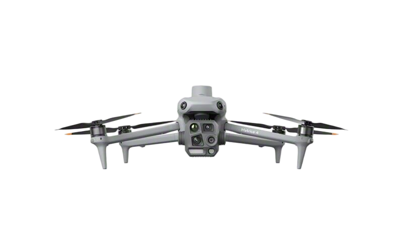 DJI
DJI MMC
MMC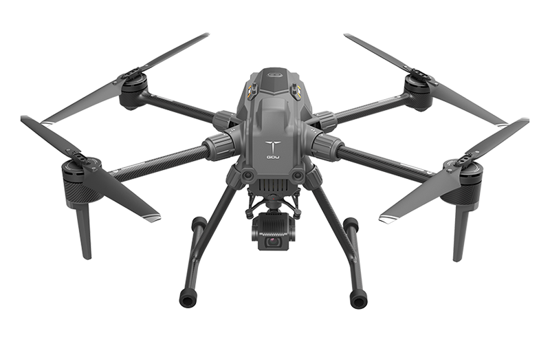 GDU
GDU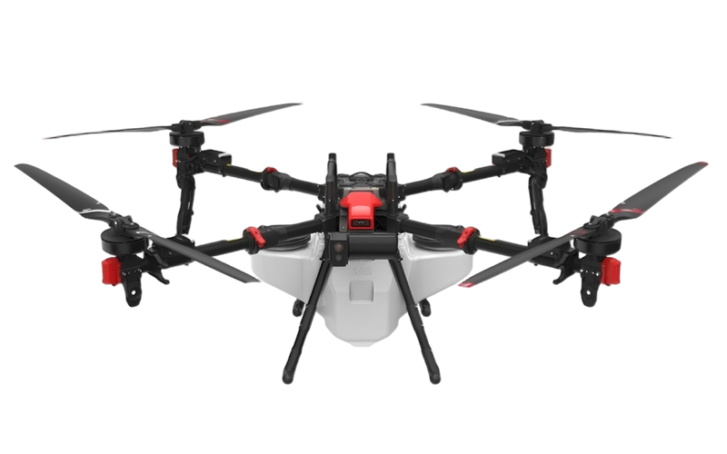 XAG
XAG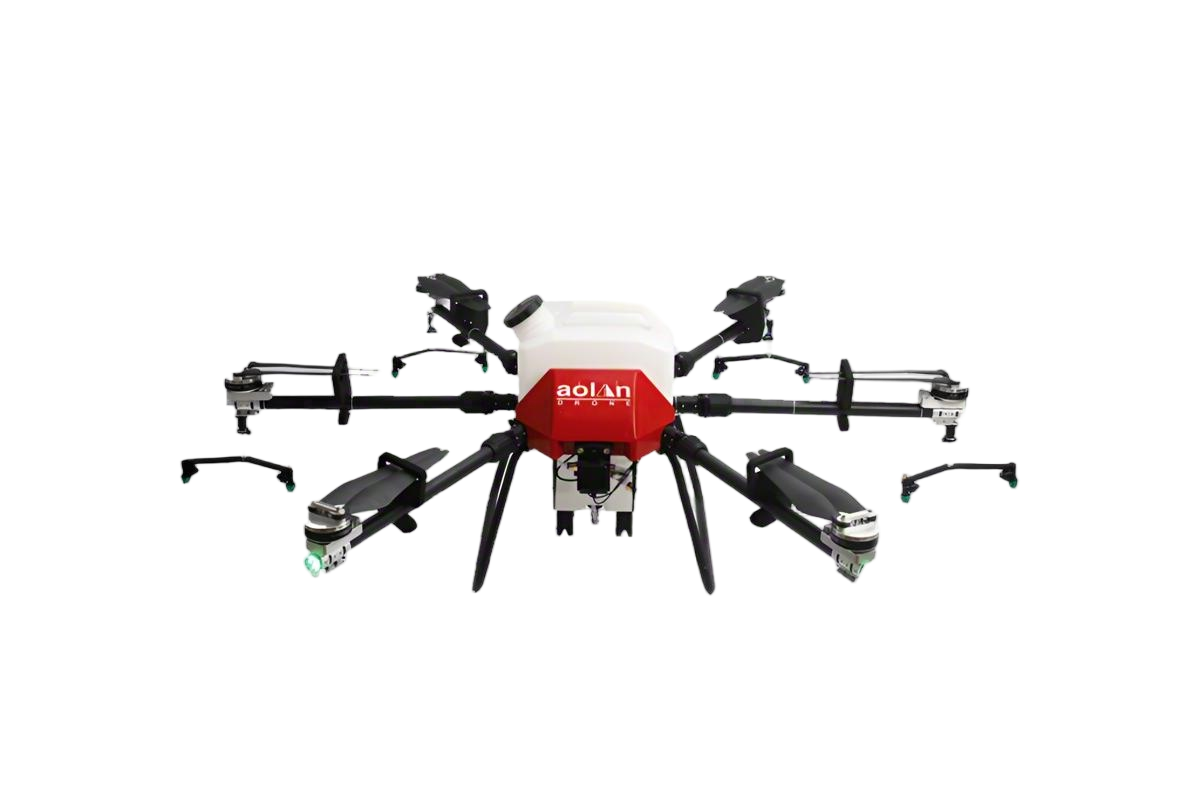 AOLAN
AOLAN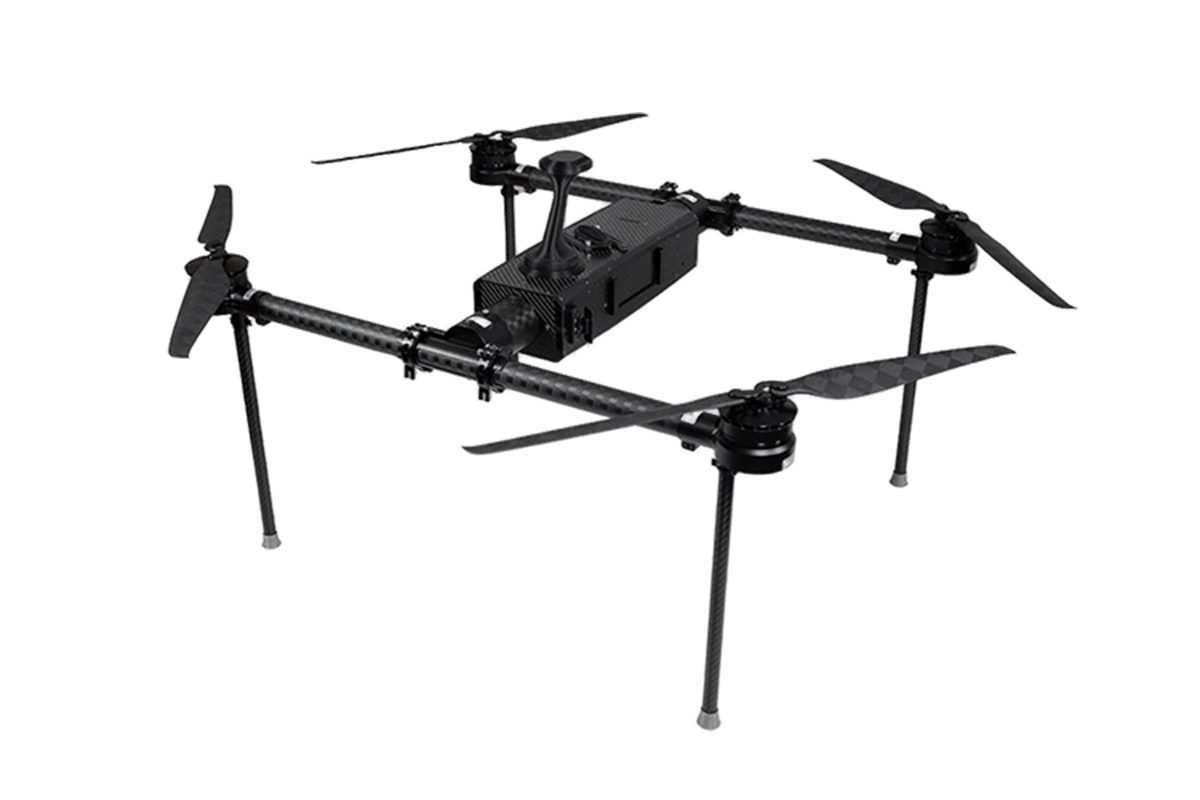 KEEL
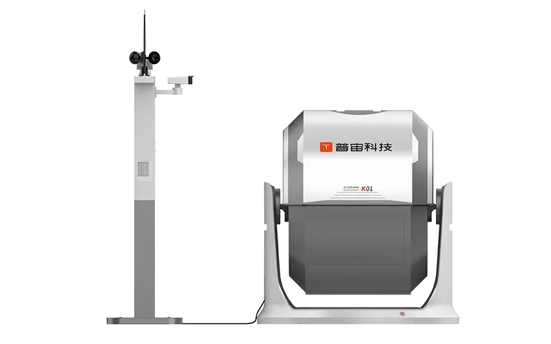
KEEL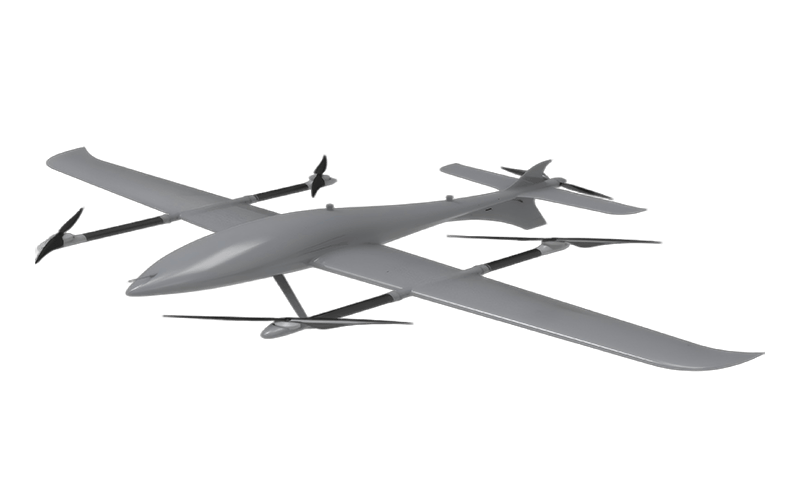 SKY NEXT
- DJI Matrice-4T
- DJI Matrice 4E Drone
- DJI Matrice 4TD
- DJI Matrice 30T
- DJI Mavic 3 Emterprise
- DJI Mavic 3M Multispectral Drone
- DJI RC 2 Plus Industry Plus
- DJI Matrice 4 Series Battery
- DJI Matrice 4D Series Batteries
- TB65 Intelligent Flight Battery
- TB100 Smart Flight Battery
- WB37 Battery
- DJI Accessories

Picking the right surveying drone can really make a big difference when it comes to the quality and speed of your projects. John Anderson, who’s pretty much an authority at SkyView Technologies, likes to point out, ‘The right drone boosts accuracy and helps save time.’ With so many options out there, it’s super important to understand what each model offers and how it suits your needs.
Surveying drones nowadays come with all sorts of fancy sensors, cameras, and GPS systems. These tech features are what make it possible to do precise mapping and gather data effectively. But here’s the thing – you’ve gotta choose a drone that fits your project. Some jobs might need really high-res images, while others are more about capturing elevation data. So, taking the time to really think about what you actually need can save you a lot of headaches later.
A lot of folks forget to consider the software you’ll use after the flight, which is actually pretty important. Also, pay attention to the drone’s payload capacity—if it’s too heavy, you might lose flight time, and that’s not ideal. Asking yourself the tough questions about what your project needs can really point you in the right direction. Honestly, picking the perfect surveying drone isn’t always easy; it takes a bit of careful thought and weighing different factors. But in the end, the right choice makes everything so much smoother.

Understanding the Basics of Surveying Drones
Surveying drones are revolutionizing the industry. They provide accurate data quickly and efficiently. A recent report from MarketsandMarkets predicts that the surveying drone market will grow from $5.4 billion in 2022 to $14.9 billion by 2027. This growth highlights the increasing importance of drone technology in surveying projects.
Understanding the basics of surveying drones is essential for effective use. Drones equipped with high-resolution cameras and LiDAR systems capture detailed images and data. This data can be processed into 3D models and topographical maps. According to the Association for Unmanned Vehicle Systems International (AUVSI), drone surveys can be up to 80% faster than traditional methods. Yet, many users overlook the need for proper training and certifications. Neglecting these factors can lead to data inaccuracies and project delays.
Choosing the right drone involves considering payload capacities and battery life. A drone must fulfill specific project requirements to be efficient. However, the rapid advancement of technology means some features may become obsolete quickly. Evaluating current and future needs is crucial to maximizing investment. Many users find it challenging to keep pace with technological updates. Reflection on these aspects can lead to improved project outcomes.

Transforming Industries: Insights from the 2023 Drone Market Report on the KEEL Modular Industrial Drone with Ultra-Long Flight Time
The 2023 Drone Market Report highlights transformative advancements in the drone industry, particularly focusing on industrial applications that demand reliability and performance. Central to this evolution is the introduction of modular designs, exemplified by drones engineered for long-range operations. These drones boast ultra-long flight times, making them indispensable tools for professionals in sectors such as agriculture, construction, and logistics.
The report points out that the demand for drones capable of extended flights has surged, driven by their ability to cover large areas without frequent recharging. For instance, the average flight time reported for industrial drones has increased significantly, with some models now exceeding 60 minutes of continuous operation. This capability not only enhances efficiency but also allows for more comprehensive data collection, critical for industries requiring high accuracy and reliability in their operations.
Moreover, the versatility of these drones is evident in their adaptability to various missions, from surveying vast agricultural fields to inspecting remote infrastructure. As businesses increasingly turn to drone technology to optimize workflows, the insights from the 2023 report emphasize the importance of adopting advanced, long-range drones that meet the growing demands of the professional landscape, ensuring they remain at the forefront of industry transformation.

FAQS
: A camera with at least 20 megapixels is recommended for detailed mapping. Higher resolution ensures clearer images.
Longer battery life allows drones to cover larger areas without needing frequent recharges. This is valuable for extensive surveys.
Drones that carry additional sensors offer versatility. However, heavier payloads can reduce flight time and stability.
Software compatibility ensures effective data processing. Incompatibility can cause delays and increased costs during projects.
Drones should support traditional file formats like JPEG and TIFF for seamless integration with photogrammetry and GIS applications.
Check online forums for real user experiences. This feedback can provide insights into service quality and reliability.
Reliable customer support ensures quick assistance during projects. It can significantly reduce downtime and frustration.
Request demos or trials to identify potential issues early. This proactive step can save time and resources later.
Open-source options may offer better flexibility for data management, enhancing your overall workflow.
Post-purchase support can be as important as specifications. Poor support can lead to frustrations despite having great features.
Conclusion
When selecting the best surveying drone for your projects, it is essential to understand the fundamentals of surveying drones, including their key features and types. Key features to consider include flight time, payload capacity, and camera quality, which directly impact the quality of your data collection. Various types of surveying drones serve different applications, from topographic mapping to construction site monitoring, making it crucial to align the drone's capabilities with your specific needs.
Evaluating drone specifications is vital, as factors such as GPS accuracy, maximum range, and durability can influence your project's success. Budget considerations also play a significant role, as investing in a suitable surveying drone can lead to substantial long-term benefits. Additionally, assessing software compatibility for data processing ensures that you can efficiently analyze and utilize the collected data. Lastly, reviewing manufacturer reputation and customer support is important for ensuring reliability and assistance when needed. By carefully considering these aspects, you can choose the most appropriate surveying drone for your requirements.
Related Posts
-

2026 Top Surveying Drone Models for Global Buyers
-

What is a Surveying Drone and How Does It Work?
-

How to Choose the Best Surveying Drone for Your Needs?
-

How to Choose the Best Commercial UAV Solutions for Your Needs?
-

2026 Best Industrial Drones for Aerial Surveys and Inspections?
-

How to Choose the Best Agri Drones for Your Farming Needs?
