 GDU
GDU
 UUUFLY
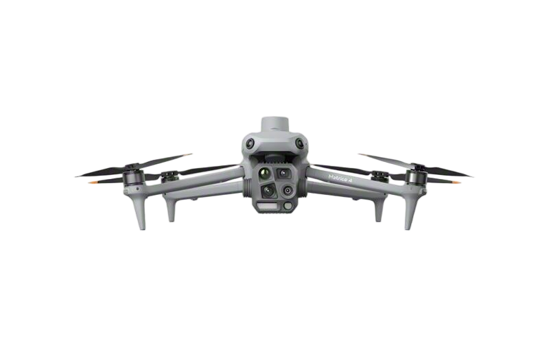 DJI
DJI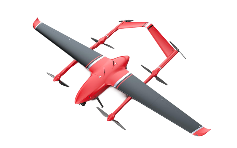 MMC
MMC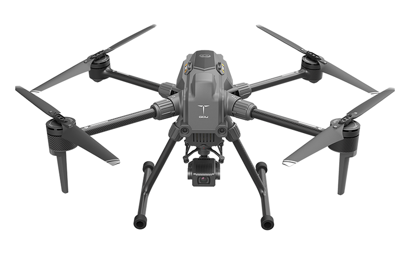 GDU
GDU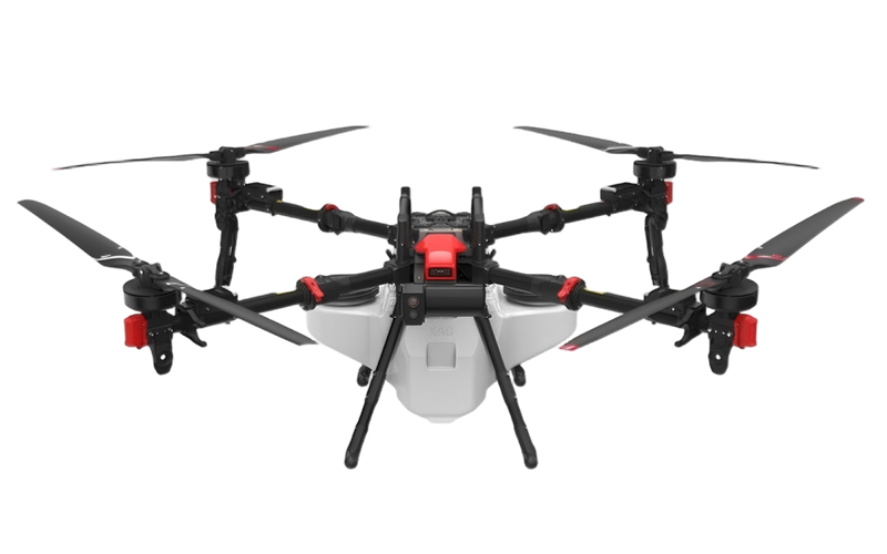 XAG
XAG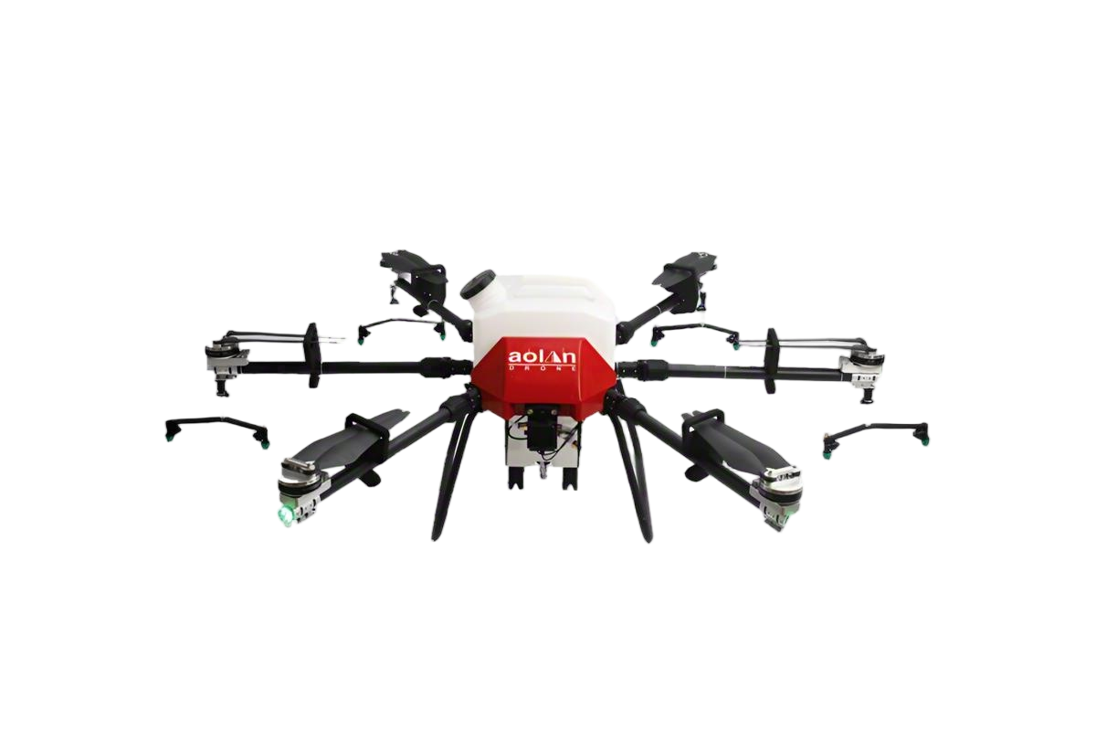 AOLAN
AOLAN KEEL
KEEL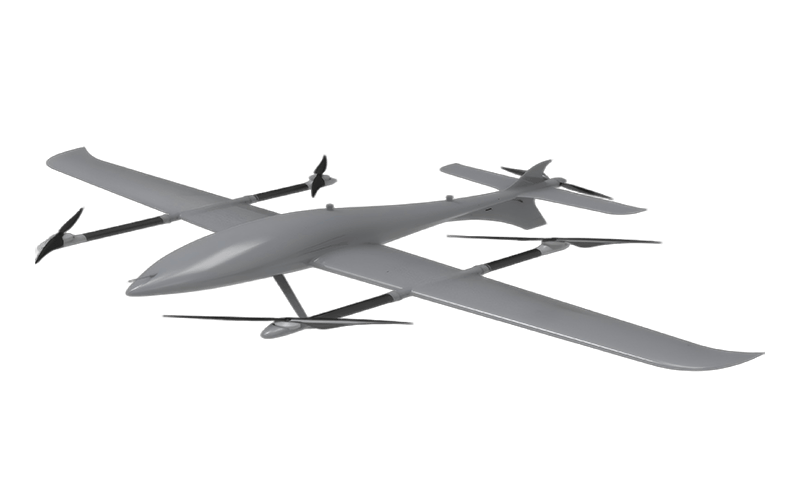 SKY NEXT
- DJI Matrice-4T
- DJI Matrice 4E Drone
- DJI Matrice 4TD
- DJI Matrice 30T
- DJI Mavic 3 Emterprise
- DJI Mavic 3M Multispectral Drone
- DJI RC 2 Plus Industry Plus
- DJI Matrice 4 Series Battery
- DJI Matrice 4D Series Batteries
- TB65 Intelligent Flight Battery
- TB100 Smart Flight Battery
- WB37 Battery
- DJI Accessories


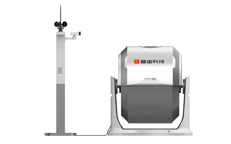
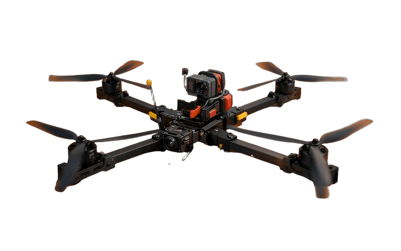
Custom Surveying Drones from Leading Manufacturers for Accurate Mapping
When I think about the future of surveying, the potential of a surveying drone really stands out. These advanced devices truly transform the way we gather data, allowing for precise and efficient measurements from the sky. I often recommend custom solutions that meet the specific needs of various industries, whether it's construction, agriculture, or mining. As a business, connecting with reliable manufacturers is crucial. They can provide drones that are not just high-tech but also tailored to your unique operational requirements. With options for customizable features, we can collaborate to ensure that the surveying drone aligns perfectly with your project demands. Imagine reducing time on the ground while gaining detailed aerial insights—it's a game changer. If you're in the market for a surveying drone, consider how these innovations can elevate your surveying projects to new heights. Let’s elevate your data collection processes together!


Surveying Drone Trusted by Pros Leads the Global Market
In recent years, surveying drones have revolutionized industries by providing precise data collection and analysis. A prominent leader in this field has become the go-to choice for professionals worldwide, thanks to its commitment to innovation and quality. These advanced drones offer remarkable capabilities, including high-resolution imaging, real-time data processing, and enhanced safety features, making them indispensable tools for surveying applications across various sectors. Global procurement professionals are increasingly seeking reliable and efficient solutions to improve productivity and reduce costs. The leading surveying drone stands out by delivering unmatched performance and durability, capable of operating in diverse environments. Whether for land surveying, construction monitoring, or environmental assessments, this drone adapts seamlessly to meet the specific needs of different industries. Furthermore, its user-friendly interface simplifies training and boosts operational efficiency, allowing teams to focus on critical tasks without being hindered by complex technology. As the demand for accurate and timely data continues to rise, investing in high-quality surveying drones not only enhances project outcomes but also positions businesses to stay competitive in the global market. With a trusted partner leading the industry, procurement teams can be assured of cutting-edge solutions that will elevate their operations and drive success in their respective fields. The future of surveying is here, and it’s time to embrace the benefits that come with the best in drone technology.
Surveying Drone Trusted by Pros Leads the Global Market
| Drone Model | Camera Resolution | Flight Time | Max Range | Weight | User Rating |
|---|---|---|---|---|---|
| Pro Surveyor X1 | 20 MP | 35 minutes | 5 km | 1.5 kg | 4.8/5 |
| SurveyMaster 3000 | 24 MP | 40 minutes | 7 km | 1.8 kg | 4.7/5 |
| GeoDrone Pro | 18 MP | 30 minutes | 4 km | 1.4 kg | 4.6/5 |
| SkyMapper T4 | 16 MP | 25 minutes | 3 km | 1.2 kg | 4.5/5 |
| AeroVAULT 200 | 22 MP | 38 minutes | 6 km | 1.6 kg | 4.7/5 |
Related Products


Surveying Drone Supplier Market Leader
Top Selling Products


- Related Blog
- Reviews
- Reviews
