 GDU
GDU
 UUUFLY
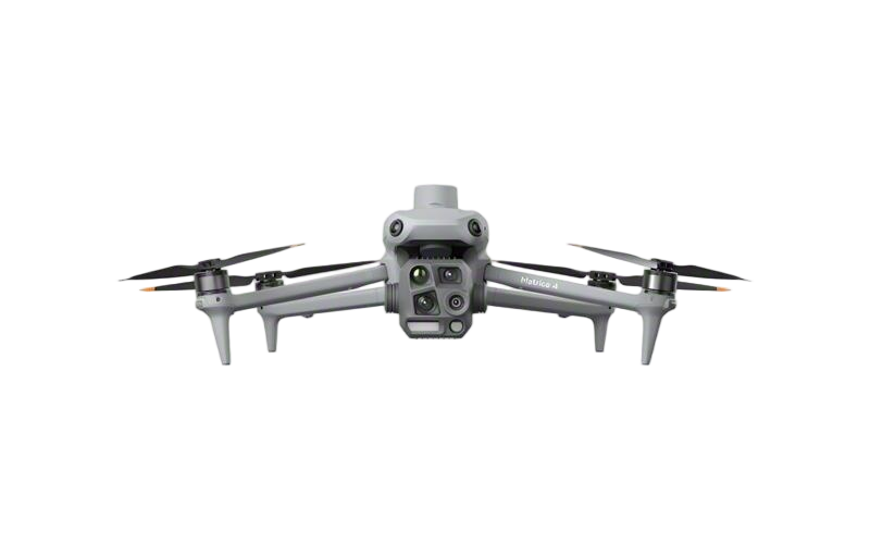 DJI
DJI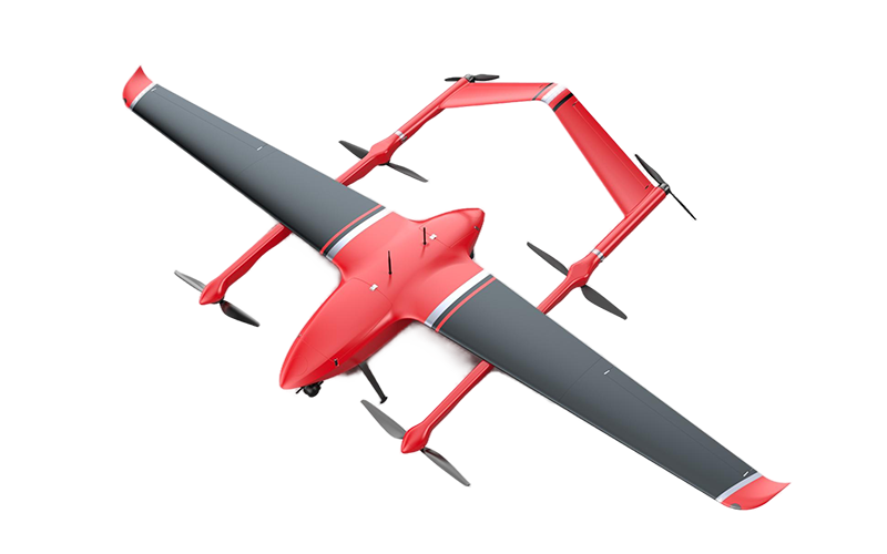 MMC
MMC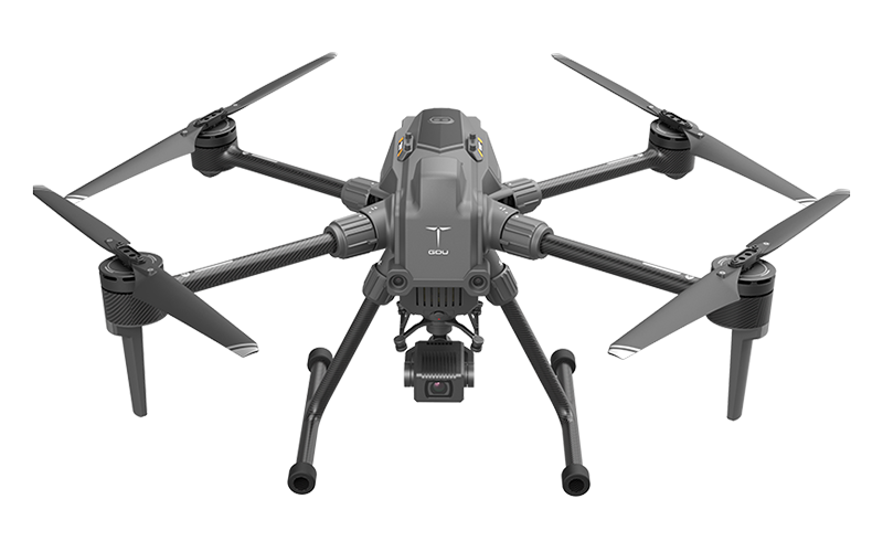 GDU
GDU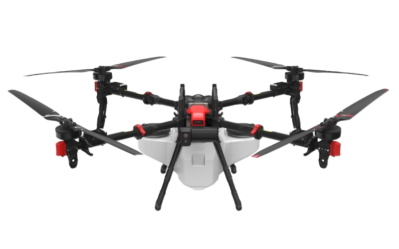 XAG
XAG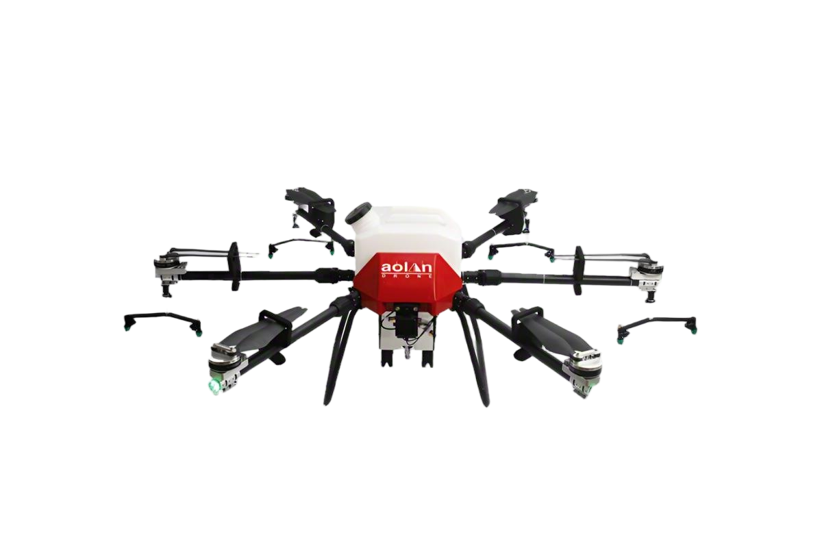 AOLAN
AOLAN KEEL
KEEL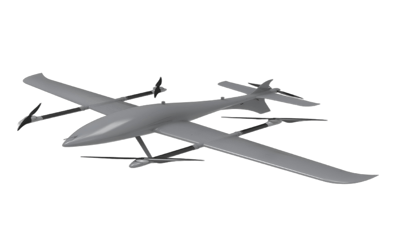 SKY NEXT
- DJI Matrice-4T
- DJI Matrice 4E Drone
- DJI Matrice 4TD
- DJI Matrice 30T
- DJI Mavic 3 Emterprise
- DJI Mavic 3M Multispectral Drone
- DJI RC 2 Plus Industry Plus
- DJI Matrice 4 Series Battery
- DJI Matrice 4D Series Batteries
- TB65 Intelligent Flight Battery
- TB100 Smart Flight Battery
- WB37 Battery
- DJI Accessories


Wholesale High-Precision Mapping Drones from Top Manufacturers
When it comes to precision in mapping, our High-Precision Mapping Drones stand out in the wholesale market. As a manufacturer dedicated to the needs of B2B purchasers, I understand that accuracy and efficiency are crucial for your projects. These drones are equipped with advanced imaging technology, ensuring detailed and reliable topographical data for various applications. Whether you’re surveying land or creating detailed maps, our drones deliver exceptional performance and ease of use. I’ve seen firsthand how our clients benefit from these high-precision tools, allowing them to save time and reduce costs. With customizable features and robust design, these drones are perfect for businesses looking to elevate their mapping capabilities. Partnering with us means you’re not just purchasing equipment; you’re investing in a solution tailored to your operational needs. Let's enhance your mapping process together and take that next step towards innovation!


High-Precision Mapping Drones Global Reach Your End-to-End Solution
In today's rapidly evolving technological landscape, high-precision mapping drones are revolutionizing how industries operate across various sectors, from agriculture to infrastructure development. These advanced aerial technologies enable businesses to acquire accurate geographical data, enhancing decision-making processes and improving operational efficiency. With their ability to capture detailed topographic information and generate high-resolution maps, drones offer end-to-end solutions that can significantly reduce costs and time spent on traditional surveying methods. As global demand for precise mapping solutions continues to rise, the integration of state-of-the-art software with high-performance drones becomes crucial. These innovations not only streamline data collection but also provide users with real-time analytics, fostering an agile response to dynamic market demands. Companies looking to expand their operations or optimize their resources can greatly benefit from embracing these technological advancements, ensuring they remain competitive in a fast-paced global economy. With a commitment to delivering comprehensive solutions, businesses can tap into the full potential of high-precision mapping drones, ensuring seamless integration into their workflows. By leveraging this cutting-edge technology, organizations can enhance their project outcomes, driving growth while maintaining sustainability and accuracy in their operations. The future of mapping is here, and it’s time for businesses worldwide to embrace this transformative technology for a more efficient and effective operation.
High-Precision Mapping Drones Global Reach Your End-to-End Solution
| Feature | Description | Applications | Region |
|---|---|---|---|
| High Resolution Imaging | Captures detailed images with a resolution of up to 1 cm. | Surveying, Agriculture, Mining | North America |
| Real-time Data Processing | Processes data on-the-fly for immediate analysis. | Construction, Disaster Management | Europe |
| Long Flight Duration | Up to 60 minutes of flight time on a single charge. | Environmental Monitoring, Mapping | Asia |
| Automated Flight Planning | Easy to set up and automate mapping missions. | Urban Planning, Traffic Analysis | Australia |
| Enhanced Safety Features | Equipped with fail-safe systems to prevent accidents. | Public Safety, Emergency Response | South America |
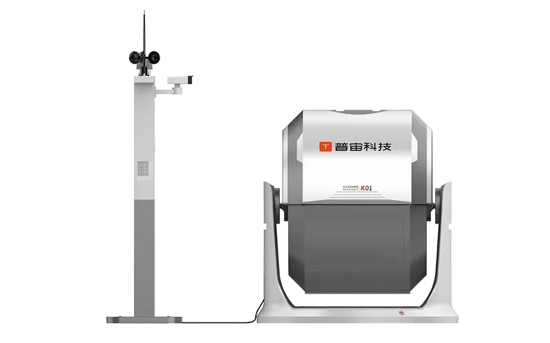
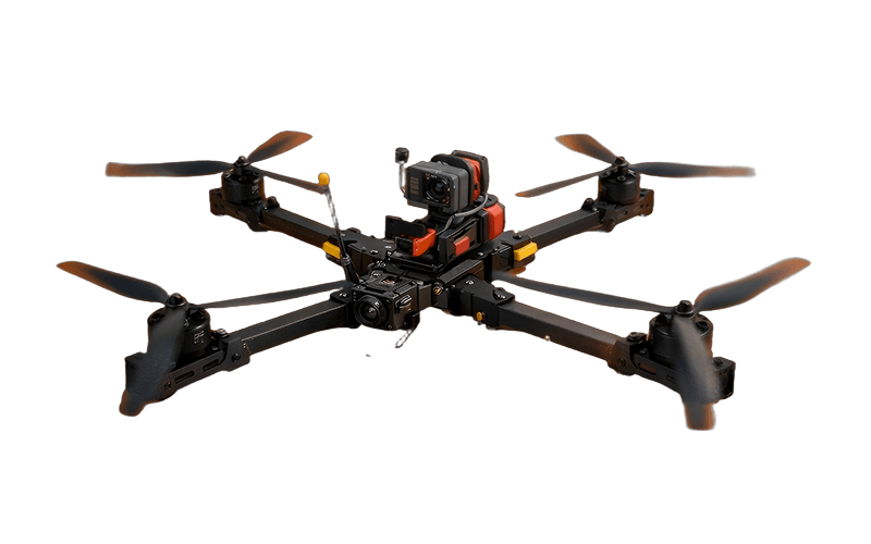
Related Products


High-Precision Mapping Drones Industry Giant From Concept to Delivery
Top Selling Products


- Related Blog
- Reviews
- Reviews
