 GDU
GDU
 UUUFLY
 DJI
DJI MMC
MMC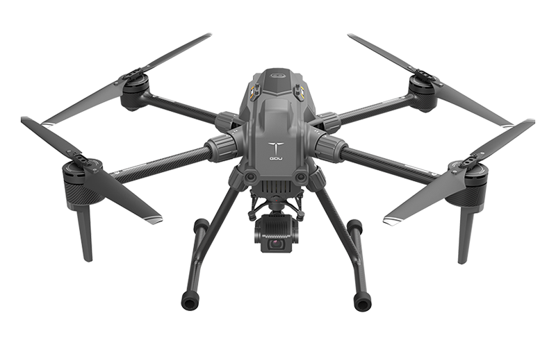 GDU
GDU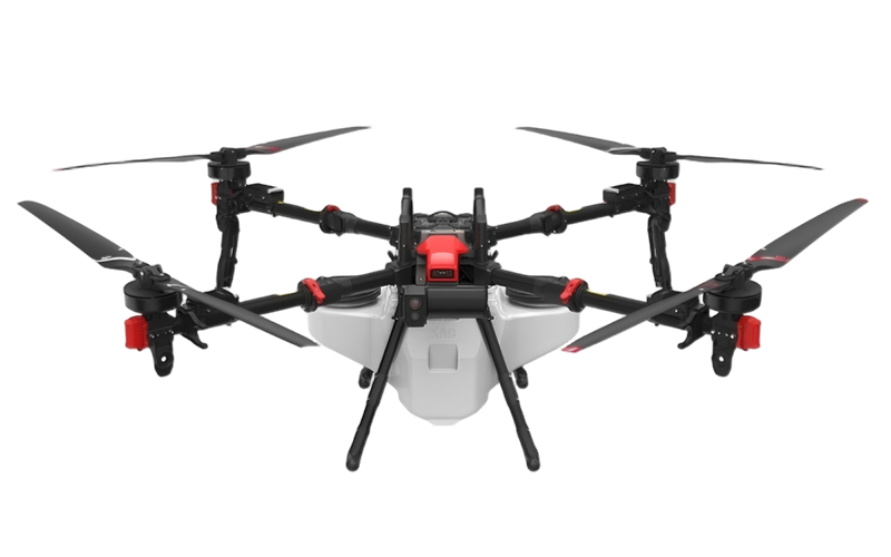 XAG
XAG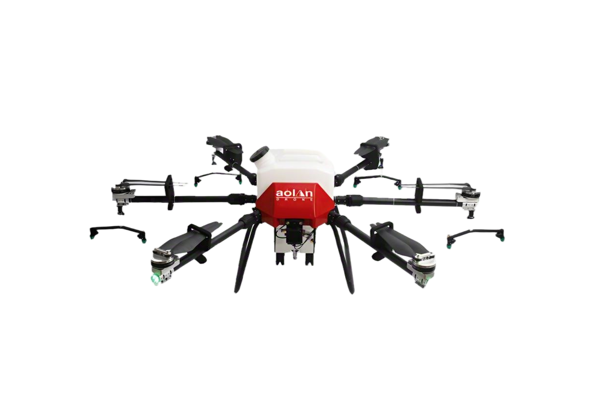 AOLAN
AOLAN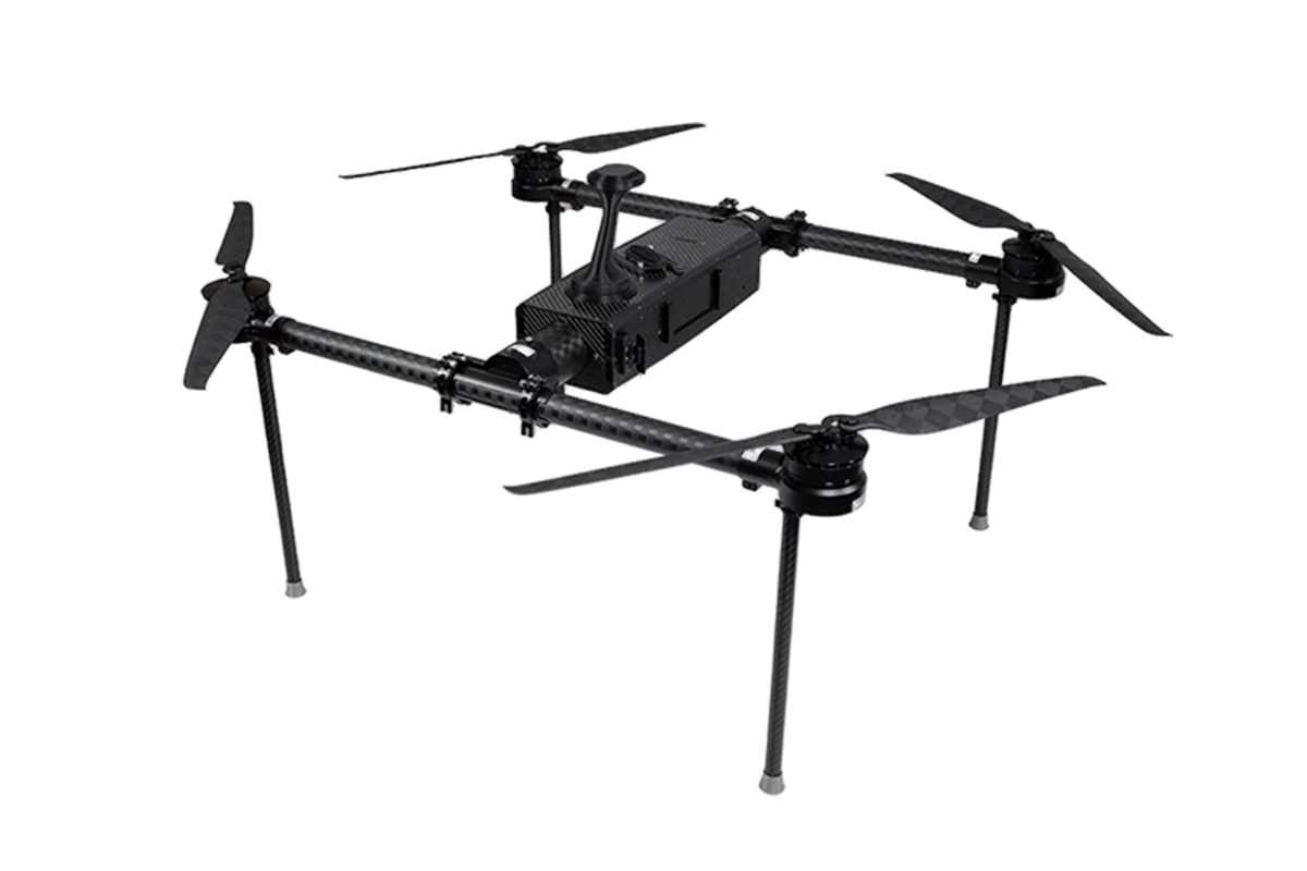 KEEL
KEEL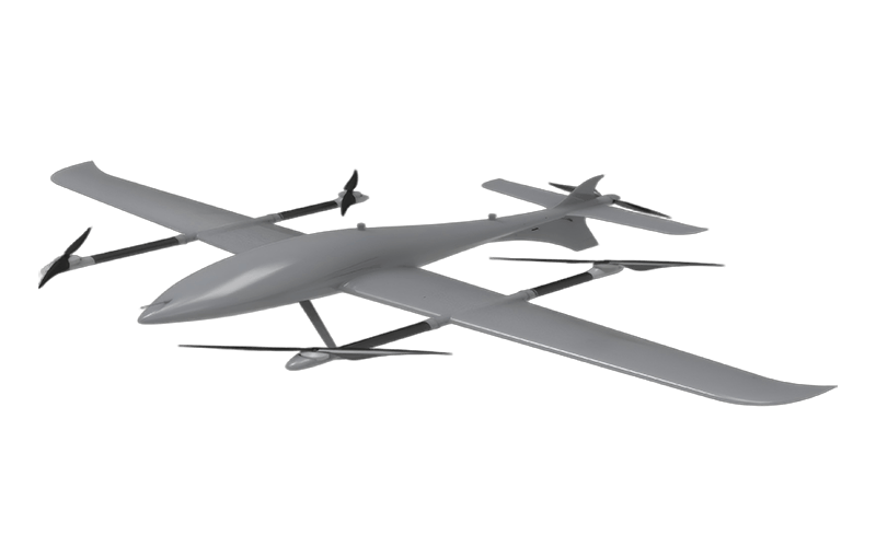 SKY NEXT
- DJI Matrice-4T
- DJI Matrice 4E Drone
- DJI Matrice 4TD
- DJI Matrice 30T
- DJI Mavic 3 Emterprise
- DJI Mavic 3M Multispectral Drone
- DJI RC 2 Plus Industry Plus
- DJI Matrice 4 Series Battery
- DJI Matrice 4D Series Batteries
- TB65 Intelligent Flight Battery
- TB100 Smart Flight Battery
- WB37 Battery
- DJI Accessories


Custom Drones for Remote Sensing: Leading Manufacturers in the Market
When it comes to drones remote sensing, we understand that precision and customization are key for your projects. Our drones are designed specifically for your unique needs, whether you’re in agriculture, construction, or environmental monitoring. Working closely with manufacturers, we ensure that every drone is equipped with cutting-edge technology to deliver accurate data you can trust. I know firsthand that investing in a high-quality drone can significantly enhance your operations, providing real-time insights that drive smarter decision-making. Our custom solutions allow you to adapt the technology to your specific use cases, ensuring you get the most out of your investment. Plus, with our dedicated support team, we make sure that you’re never left in the dark. Elevate your business with our tailored drones remote sensing solutions, and let us take your data collection to the next level.


Drones Remote Sensing Is The Best Leads the Global Market
In recent years, the integration of drone technology with remote sensing capabilities has transformed various industries, establishing itself as a game-changer in data collection and analysis. Drones equipped with high-resolution cameras and advanced sensors are revolutionizing the way businesses approach mapping, surveying, and monitoring. By providing real-time data and enhanced imaging, these aerial vehicles are not only improving efficiency but also driving significant cost reductions for corporations on a global scale. As a result, industries ranging from agriculture to infrastructure management are increasingly adopting drone technology to stay ahead in a competitive market. The global market for drone-based remote sensing is experiencing unprecedented growth, fueled by advancements in technology and an expanding range of applications. Companies are recognizing the importance of integrating drones into their operations to enhance precision, speed, and data accuracy. For instance, in agriculture, drones are being used to monitor crop health, optimize irrigation, and even perform precision spraying, ensuring sustainable practices while maximizing yields. Similarly, in the construction and mining sectors, drones provide invaluable insights by offering detailed aerial perspectives, enabling better project management and safety assessments. As procurement professionals look for innovative solutions, investing in drone technology for remote sensing emerges as a compelling option. By leveraging these technologies, businesses can not only improve their operational effectiveness but also gain a competitive edge in their respective fields. The continuous evolution of drone capabilities promises to unlock new opportunities in data-driven decision-making, making it imperative for global buyers to stay informed and consider incorporating this cutting-edge technology into their strategies.
Drones Remote Sensing Is The Best Leads the Global Market
| Region | Market Size (Million USD) | Growth Rate (%) | Key Applications |
|---|---|---|---|
| North America | 1200 | 15 | Agriculture, Forestry, Mapping |
| Europe | 950 | 12 | Environmental Monitoring, Surveying |
| Asia Pacific | 800 | 20 | Mining, Construction, Disaster Management |
| Latin America | 600 | 10 | Agriculture, Surveillance |
| Middle East & Africa | 400 | 8 | Security, Agriculture |
Related Products


Drones Remote Sensing Ahead of the Curve Delivers Unmatched Quality
Top Selling Products


- Related Blog
- Reviews
- Reviews
