 GDU
GDU
 UUUFLY
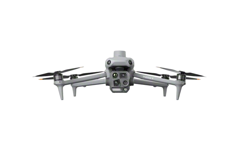 DJI
DJI MMC
MMC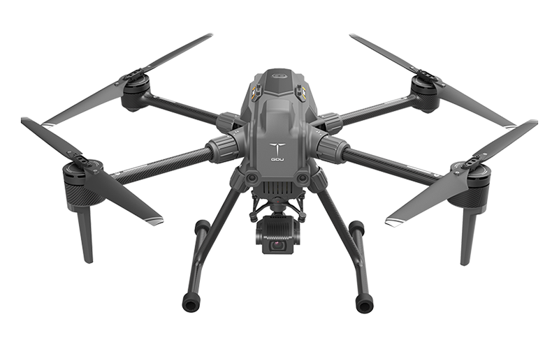 GDU
GDU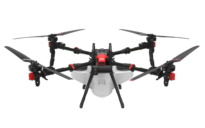 XAG
XAG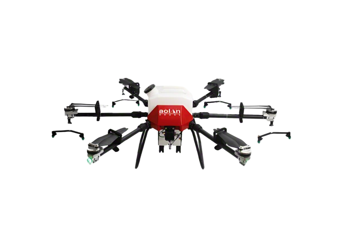 AOLAN
AOLAN KEEL
KEEL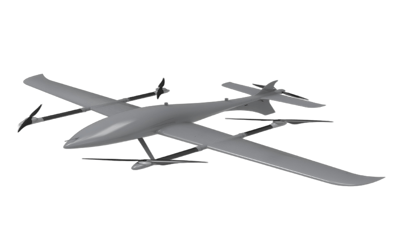 SKY NEXT
- DJI Matrice-4T
- DJI Matrice 4E Drone
- DJI Matrice 4TD
- DJI Matrice 30T
- DJI Mavic 3 Emterprise
- DJI Mavic 3M Multispectral Drone
- DJI RC 2 Plus Industry Plus
- DJI Matrice 4 Series Battery
- DJI Matrice 4D Series Batteries
- TB65 Intelligent Flight Battery
- TB100 Smart Flight Battery
- WB37 Battery
- DJI Accessories


Custom Drone Mapping Solutions from Leading Manufacturers
Unlock the potential of your projects with our custom drone mapping solutions! As someone deeply involved in this field, I understand the unique challenges manufacturers face. Our drone mapping services provide precise and high-resolution data tailored to your specific needs. Whether you're in construction, agriculture, or environmental monitoring, we’ve got you covered. With our advanced technology, you can expect quick turnaround times and accurate results, helping you make informed decisions faster. We work closely with you to understand your requirements, ensuring that the final product fits seamlessly into your operational workflow. Plus, our team is dedicated to providing ongoing support, so you’re never left in the dark. Choosing us means partnering with a reliable provider that values quality and customization. Let’s elevate your business with drone mapping that truly makes a difference! Reach out today and see how we can assist you in achieving your goals.


Drone Mapping Service Trusted by Pros
In an era where precision and efficiency are paramount, drone mapping services have emerged as a game-changer for industries across the globe. Trusted by professionals, these services leverage advanced aerial technology to deliver high-resolution maps and data that drive informed decision-making. Whether in agriculture, construction, or environmental management, the ability to capture and analyze large areas quickly and accurately provides a competitive edge that cannot be overlooked. By employing state-of-the-art drones equipped with cutting-edge imaging technology, businesses can now access detailed topographical information and monitor changes in real time. This level of insight is instrumental in optimizing operations, reducing costs, and enhancing safety. Moreover, drone mapping services facilitate seamless collaboration among teams, allowing stakeholders to visualize projects and assess progress from a distance, thereby streamlining workflows and improving project outcomes. As global suppliers seek innovative solutions to enhance their operations, embracing drone mapping technology stands as a strategic investment. The potential for enhanced data collection and analysis can revolutionize how procurement strategies are developed and implemented. By trusting in these state-of-the-art services, businesses can elevate their capabilities and drive unprecedented growth in today's fast-paced market.
Drone Mapping Service Trusted by Pros
| Service Type | Key Features | User Rating | Typical Use Cases |
|---|---|---|---|
| Aerial Surveying | High-resolution imagery, Accurate mapping, Easy integration with GIS | 4.8/5 | Construction, Agriculture, Mining |
| Topographic Mapping | 3D surface models, Contour lines, Volume calculations | 4.7/5 | Land development, Environmental studies |
| Photogrammetry | Precision measurements, Orthomosaic generation, Fast data collection | 4.9/5 | Urban planning, Heritage conservation |
| Infrastructure Inspection | Real-time monitoring, Safety assessments, Structural analysis | 4.6/5 | Bridges, Power lines, Roof inspections |
| Agricultural Monitoring | Field health analysis, Crop scouting, Irrigation planning | 4.8/5 | Farming, Precision agriculture |
Related Products


Drone Mapping Factory Exceeds Industry Benchmarks
Top Selling Products


- Related Blog
- Reviews
- Reviews
